Categories and Requirements
List of categories below to have its own zone including a section illustrating potential needs and requirements of equipment and compliance with regulations etc. e.g. (landowner permissions, restriction of public access for the purposes of safety, proximity to sensitive locations e.g. Airport where additional permissions may be required from Air Traffic-Control police or military authorities and or council authorities. Proximity to hazardous locations e.g. Power stations, Radio towers and areas of sensitivity e.g. Government property, prisons, nature reserves etc.
Site survey visit and assessment, Risk Assessments, Establishing safe effective and productive Times and location of operations, meteorological conditions and assessment, aeronautical considerations (NOTAMs military low-flying areas, private flying site location awareness and communications).
Night flying operations. The ability to fly between the hours of Sunset to Sunrise.
SOCs (special operations case)
Requirements to fly outside of standard operational procedures, e.g. the ability to fly within London requiring not only permission from the Greater London authority but also Metropolitan police and security services approval depending on location. The ability to fly above 400 feet or 122 m above ground. The ability to fly in close proximity of persons or structures out of your control that I’m not covered in your standard operational procedures governed and laid out by the CAA. EVLOS the ability to fly safely Beyond 500 m horizontally unaided visual line of sight or Beyond over 122 m 400 feet vertically unaided vision line of sight. BVLOS (Beyond visual line of sight)

Aerial mapping categories
Drone Services Dorset (SFUAV) have the right equipment, skills and experience as well as the ground and aerial teams to cover all events ensuring we deliver your project on time first time, from agricultural requirements, conservation, structural development, quantity surveying, site progress Recording, Site evaluations, Photogrammetry, 2-D and 3-D modelling, design and planning.
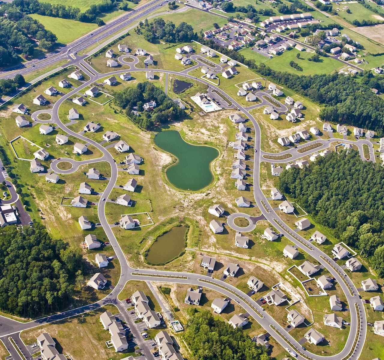
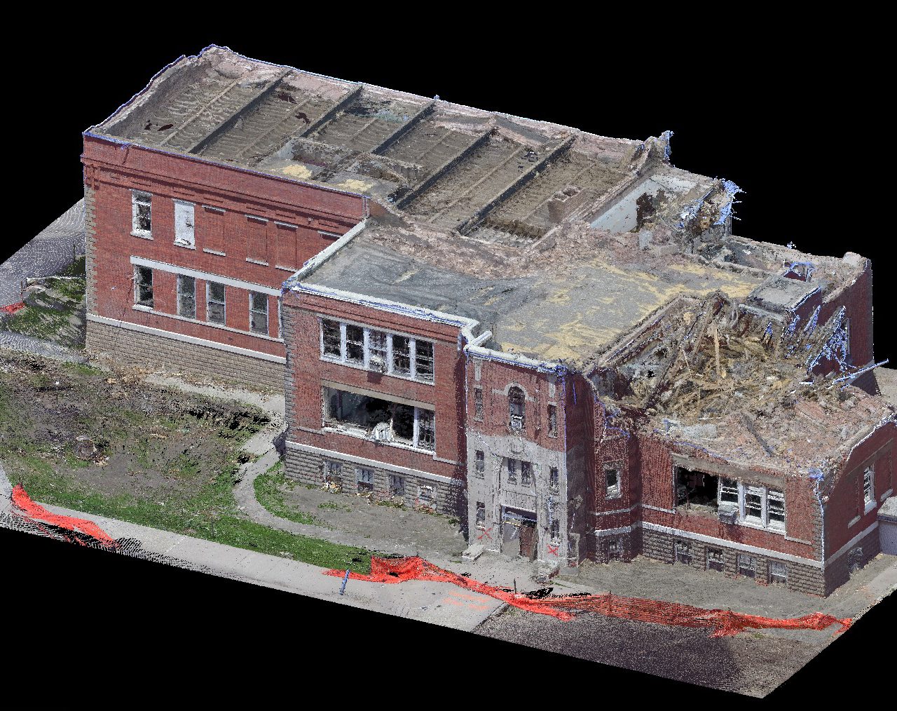
Surveying and inspections
Drone Services Dorset cater for a wide range of surveying and inspection services such as structural maintenance and development, damage and safety analysis, structural inspections and maintenance records, wind turbines inspection and damage assessment, solar farm damage and efficiency analysis, structural development, insurance claims and legal disputes. Our unique bird’s eye view can be a big plus for all aerial videos, our full HD video capture capability combined with our in-house video post Processing skills makes Drone Service Dorset the place to go for aerial video service throughout Bournemouth, Poole, Christchurch, Dorset, Hampshire, Somerset, Surrey, Sussex and throughout the UK and beyond.
Thermal imaging data collection
Drone Services Dorset have a vast amount of experience delivering high quality aerial and video services, we have specific expertise and experience in delivering quality aerial data for outdoor activities of all kinds including, commercial and domestic thermal analysis, insurance damage analysis, maintenance planning, fault finding, thermal damage and anomalies, surveillance, search & rescue throughout Bournemouth, Poole, Christchurch, Dorset, Hampshire, Somerset, Surrey and the rest of the UK.
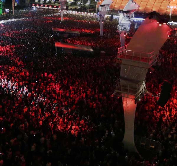

Promotions and advertising services
Our unique bird’s eye view can be a big plus for all aerial videos, our full HD video capture capability combined with our in-house video post Processing skills makes Drone Service Dorset the place to go for aerial video services, we specialise in product awareness and branding, training videos, specialist events, extreme sports and activities, sales promotions, media and event promotion, film & TV throughout Bournemouth, Poole, Christchurch, Dorset, Hampshire, Somerset, Surrey, Sussex and throughout the UK and beyond.
Security services
Drone Services Dorset (SFUAV) have the right equipment, skills and experience as well as the ground and aerial teams to cover all types of security related services such as tracking and recovery of stolen equipment, surveillance operations, evidence gathering. security analysis, event and perimeter security, rescue operation coordination and damage assessment services throughout Bournemouth, Poole, Christchurch, Dorset, Hampshire, Somerset, Surrey and Sussex.
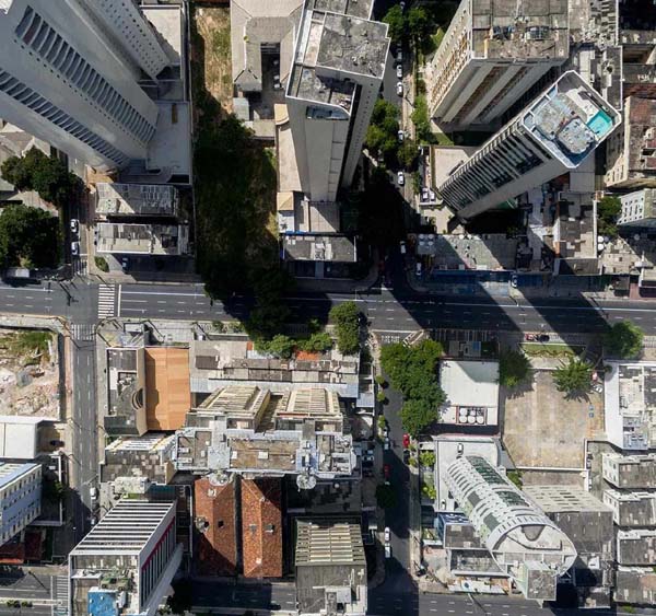
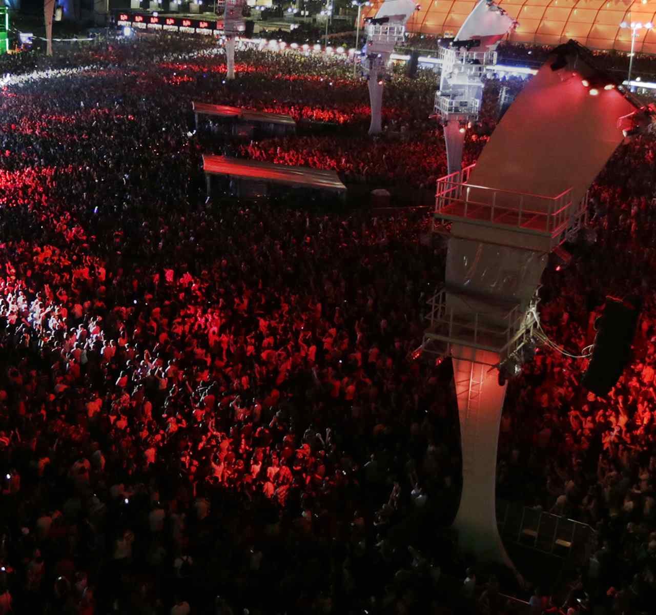
Special events
Our unique bird’s eye view can be a big plus for all aerial videos, our full HD video capture capability combined with our in-house video post Processing skills makes Drone Service Dorset the place to go for aerial video coverage of concerts, festivals, competitions, motorsports, water sport events, live broadcasting, private parties functions and ceremonies throughout Bournemouth, Poole, Christchurch, Dorset, Hampshire, Somerset, Surrey, Sussex and rest of the UK and beyond.
Sensitive data collection services
Drone Services Dorset have a vast amount of experience in collecting and delivering sensitive data we have specific expertise and experience in this arena, in particular the areas covering record keeping, data analysis, client security, covert operations, recording of dangerous or illegal activities, trespassing evidence recording, government services, covering Bournemouth, Poole, Christchurch, Dorset, Hampshire, Somerset, Surrey and the rest of the UK.


